

The sunnier, rain-free skies that characterized this past weekend in Central Texas are set to persist over the coming days. After weeks of unsettled weather, Austin experienced its first truly dry weekend of the month, with only a trace amount of precipitation briefly recorded on Saturday afternoon.
Central Texas finds itself sitting between two contrasting weather systems: an upper-atmosphere low pressure system over West Texas and a ridge of high pressure in the lower Mississippi Valley. The interaction between these circulating systems — counterclockwise winds around the low and clockwise winds around the high — will channel breezy southerly winds into our region with gusts as strong as 25 mph.
Temperatures will hover near our seasonal average for July 22 of 97 degrees, with slightly more sunshine and humidity-driven heat index values, or “feels like” temperatures, ranging between 99 and 101 degrees.
For most of the week, the subtropical ridge of high atmospheric pressure will squash any rain chances and keep the weather over Central Texas relatively quiet. While this high will migrate north a bit into the Ohio Valley later this week, it will be large enough to continue influencing our weather until the weekend, when a surge of tropical moisture moves along the Texas Gulf Coast.
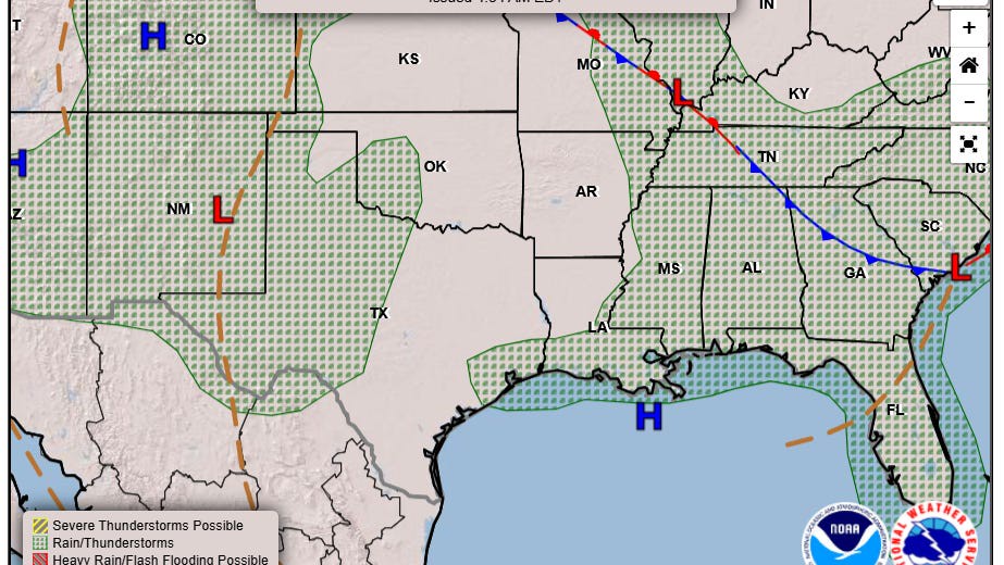
Around midweek, an atmospheric disturbance is expected to break off from a stalled front over the southeastern United States. This area of low pressure will push southward from the Carolinas into Florida and then track westward across the northern Gulf, skirting the southern edge of the high pressure ridge.
Once this feature approaches the upper Texas Gulf Coast, it is expected to bring rain and thunderstorms. Depending on how far west the disturbance travels, rain chances could extend farther inland across the Coastal Plains and into Central Texas. So far, our region has only a 10-20% chance of rain from Friday through Sunday.
Temperatures may moderate slightly with more clouds in the sky and increased atmospheric moisture across the region. High temps will stay at or slightly below normal for the extended forecast period.
Watching the tropics
The potential for tropical moisture to move onshore in Texas during hurricane season is always a cause for concern. Although this scenario is still several days away from unfolding, the National Hurricane Center has not identified any areas along the U.S. Gulf Coast for potential tropical cyclone development yet.
However, with sea-surface temperatures in the region sitting at a very warm 87 degrees, any atmospheric disturbance moving through the Gulf of Mexico could strengthen by tapping the heat energy in the unusually warm water.
“The forecast guidance is suggesting that we could have a suspicious-looking disturbance by the middle of the week,” the regional National Weather Service office for Houston and Galvestion wrote in their daily forecast on Monday. “If current global guidance is to be believed, then much of the system would remain over land, resulting in the same fate as (the tropical disturbance) faced last week.”
This is a development we will need to monitor closely in the coming days.