

If this month has felt more like spring than summer to you, you’re not imagining it. July 2025 has been far from a typical summer in Austin, marked by the absence of triple-digit heat, increased cloudiness and almost daily chances of rain.
As we approach the final days of July, they have been cooler than average. In fact, 23 days have experienced below-normal temperatures and two days have been near normal. Another two days were above normal, including a day last week that resulted in our first triple-digit temperature of the summer and only the third such reading of the year.
Looking more closely at the data, this month’s average high temperature to date is just 92 degrees, making it the 17th coolest July on record for Austin. This is especially notable because the last time July was this mild was in 2007, which saw a similar weather pattern with abundant tropical moisture and a persistent system of low atmospheric pressure. However, high pressure did settle in during the final days of that month.
Similar to 2007, the familiar heat dome will make a return across Texas in the final days of July.
The subtropical ridge of high pressure, which brought extreme heat to the Midwest and southeastern United States last week, will shift westward and intensify by midweek. As is typical with high pressure systems, the sinking air suppresses cloud formation, leading to sunny skies and rising temperatures.
Tuesday will begin with morning lows around 75 degrees under a mostly clear sky and light southeast winds. The afternoon will be sunny and hot with a high of 99 degrees. The drier air that accompanies high pressure will help reduce humidity levels on Tuesday afternoon, as reflected by lower dew points in the 50s and low 60s. This will minimize any concerns about higher heat index readings for the afternoon.
Wednesday will bring the coolest morning temperatures and hottest afternoon ones of the week as the heat dome settles over Central Texas. With less water vapor in the air, less heat is trapped at night, leading to cooler mornings. During the day, the dry air heats up quickly without moisture to absorb the sun’s energy, making the afternoons hotter.
Wednesday morning temperatures could drop into the upper 60s across the Hill Country and the lower 70s in Austin. Meanwhile, afternoon highs could climb into the upper 90s and lower 100s.
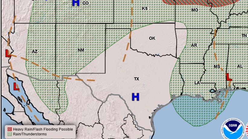
On Thursday, the heat may begin to ease slightly as the heat dome starts to weaken and shift north and west. This will, yet again, open the door for another disturbance to track west along the Gulf Coast toward Texas. At the same time, a frontal boundary is expected to slide into North Texas behind the departing high pressure system. This will increase the cloud cover and rain chances by Friday and last through the weekend.